 Palmer Track Maps
 Palmer Track Maps
|
Palmer Motorports Park is located in the northeast corner of Palmer. 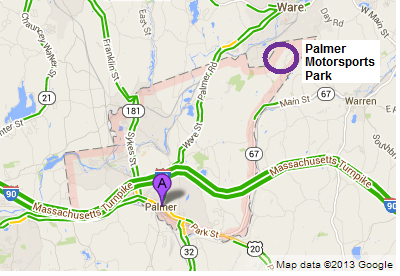
As shown below, the park is within a hollow surrounded by tall hills. The lowest point is 830 feet above sea level, the highest is 1020 feet, and the town of Palmer is 330 feet above sea level. 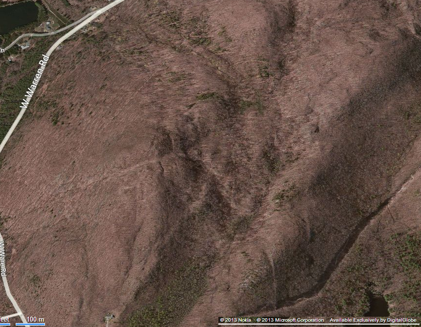 |
|
|
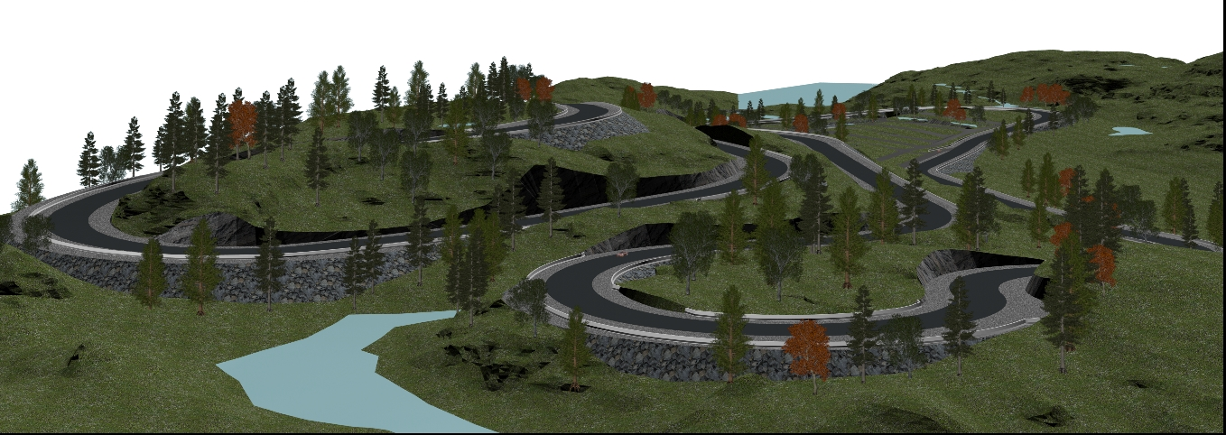
As shown in the photo (looking northwest), the park is within an heavily forested area. To the east is an electric utility line running north through State-owned forests. 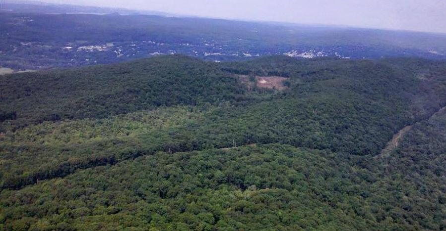 |
|
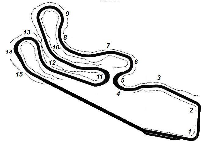
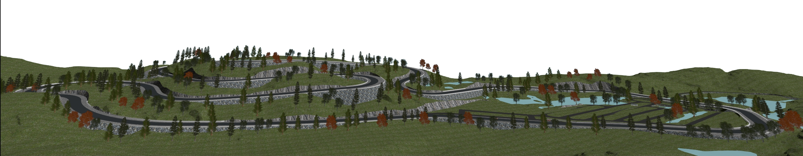
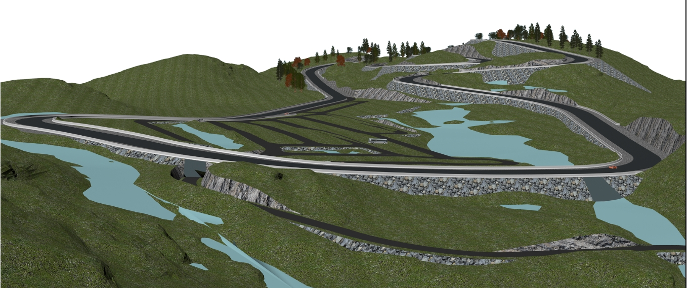
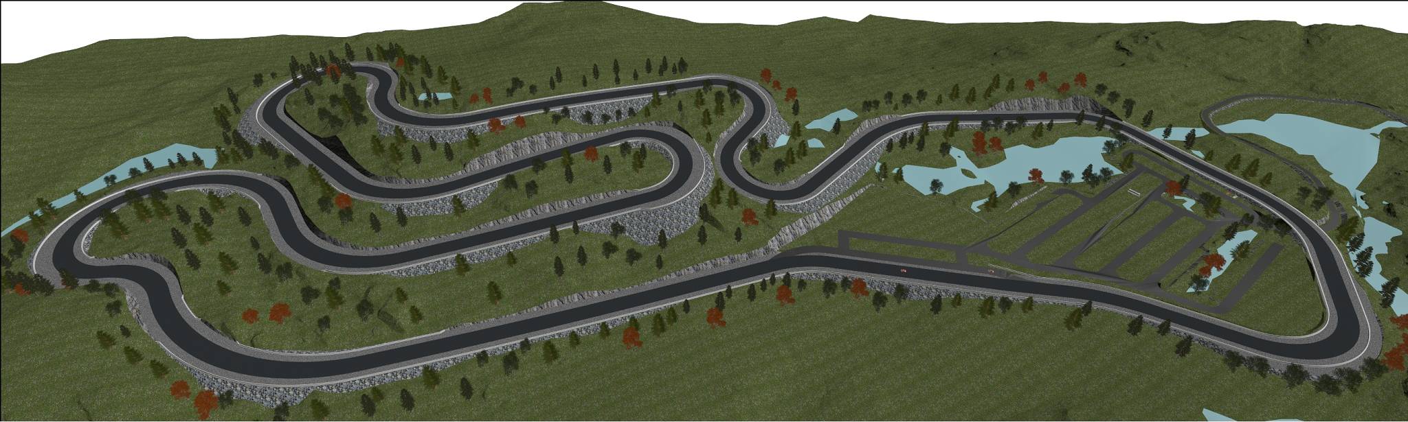
The road course circuit consists of 15 turns and almost 190 feet of continuous elevation. The 2+ mile road circuit flows over the face of the surrounding hills within the hollow, creating a road course with breathtaking views and dramatic elevation. Top race speeds are estimated at 147 mph, with an average lap speed estimated at 94 mph (click here to see specific sector and corner calculations). |
|
 |
|
Below are artistically rendered views of the park as seen from various vantage points. |
|
    |
|